The Masterplan
32,000+ kanal, drawn to a single plan.
Master-planned by Surbana Jurong, Singapore. Developed by Habib Rafiq Ltd. Backed by DHA Islamabad–Rawalpindi.
Drag to explore · Scroll to zoom
Official masterplan imagery — high-resolution version coming at launch
Six Districts
Find your address on the plan.
Every district has a place, a purpose, and a page. Select a district to see where it sits — and what life looks like inside it.
Indicative district locations — final sector boundaries at launch
The Layers
The Surbana Jurong story, told in five drawings.
Layer 01
Land Use
A balanced city: residential sectors, commercial zones, education and medical districts, and recreation — zoned before the first plot was sold, so no use ever crowds another.
Land-use / concept plan (deck).
Layer 02
Transit
Public transport runs through the middle of every neighborhood and district — two planned transit lines with interchange stations, giving end-to-end connections so daily life doesn't depend on a car.
Transit concept plan — Line 1, Line 2, interchanges, transit-radius circles (deck slide 29).
Layer 03
Green & Water
The lake, canals, parks and green buffers are structural, not decorative — the waterfront network threads the plan together and gives every sector access to open ground.
Green / water network — Lake District plan.
Layer 04
Typologies
From compact family plots to waterfront villas and lake-view apartments — a range of residential typologies planned across the sectors. (Plot categories from 5 Marla upward; final category list and sector allocations to be published at official launch.)
Residential typologies (deck 25–26).
Layer 05
Facilities
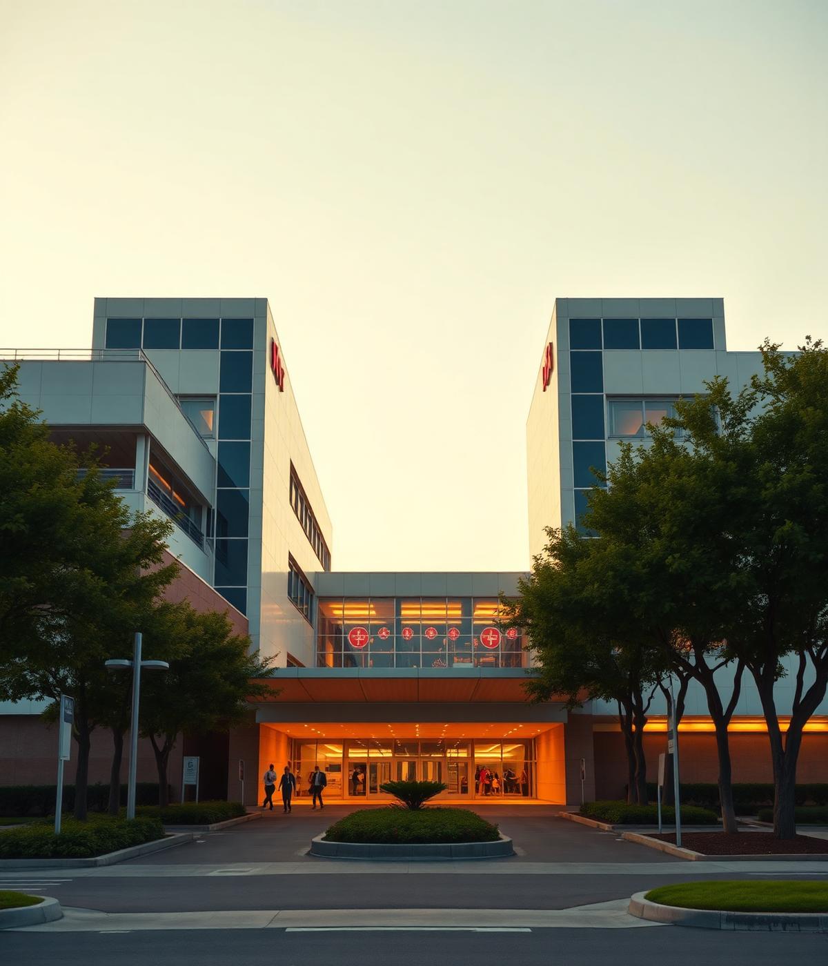
District centers, boulevard retail, offices, mosques, schools, hospitals and sports grounds — facilities zoned within reach of every neighborhood.
Commercial + facilities typologies (deck 23–24 / 27–28).
Layer 01 · Land Use — indicative
Site orientation — M-2, airport, Ring Road, Capital Smart City (indicative)
Location & Connectivity
On the M-2, minutes from everywhere that matters.
DHA Gandhara sits on the M-2 Motorway at the Thalian–Morat corridor, beside Capital Smart City and minutes from Islamabad International Airport — with a dedicated DHA interchange planned to connect the city directly to the motorway.
02
Min · Chakri
05
Min · Ring Road
07
Min · Airport
30
Min · Diplomatic Enclave
Status
From drawing to ground.
Development is active on the Lake District side — site leveling, boundary demarcation and early road works across Parcels A1, A2, A3 and the Overseas block, with HRL machinery and a development base camp on site. The masterplan above isn't a promise; it's a work order.
View Development Updates →70+ years · 40+ countries · 16,000 professionals — the planners behind Tianjin Eco-City, Punggol Digital District and the King Abdulaziz International Airport redevelopment.
Masterplan Session
Walk the plan with a specialist.
A masterplan rewards a guided reading. Book a private session — a Gandhara advisor will walk you through districts, road hierarchy, waterfront structure and current pre-launch availability.
or continue on WhatsApp →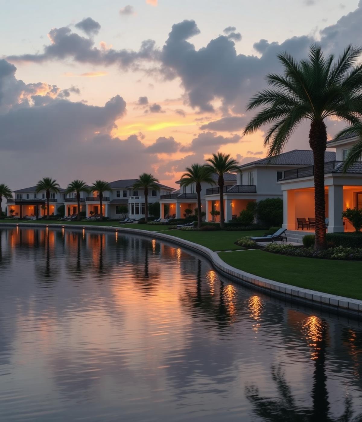

 WhatsApp
 Call
Call